|
Cyprus Ultra course layout described by Cyprus trail runner Quentin Macilray.
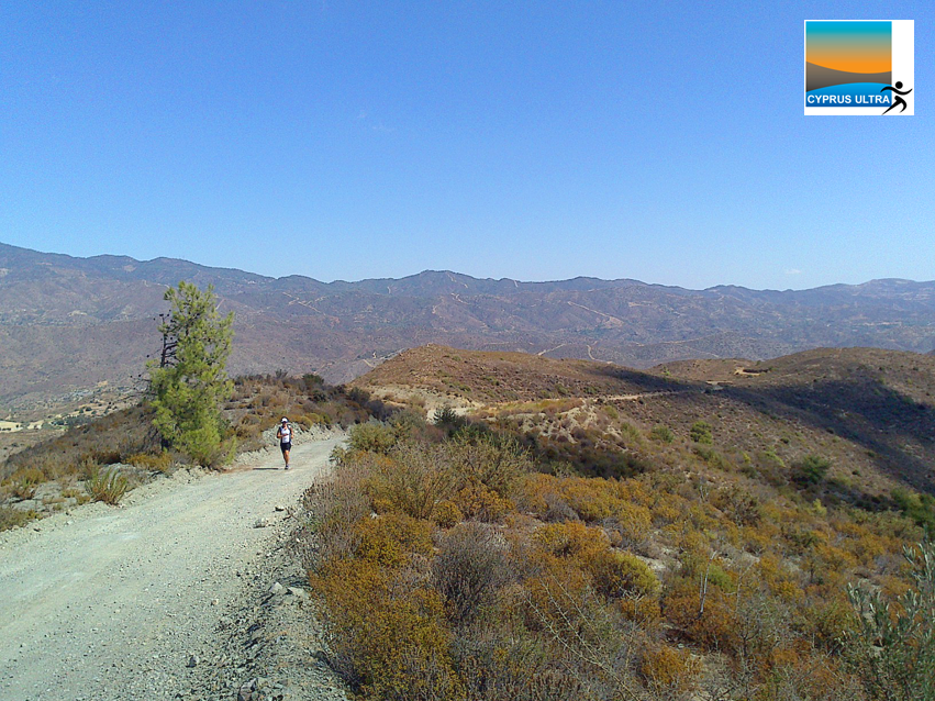
The course consists of two loops: a top loop and a bottom loop. Between them is a connecting strip (about 1 km). This connecting strip is the only part of the trail that is run in both directions: on the other parts you throw anti-clockwise loops (that's "counter-clockwise", for our American cousins). The top loop is actually a double: a figure of 8, with a 4-way crossroads in the middle. There is a checkpoint/aid station at the crossroads, where people will point you in the right direction. Think of the top loop as an 8 and the bottom loop as a 6, one above the other, with the tail of the 6 forming the connecting strip: The base station is near the bottom of the 8. So, using your imagination, let’s follow the course round: From the base station you run down through the village, about 1/2 a kilometre, following the bend of the road (bottom of the 8) round to the left. At the top of the tail of the 6, throw a right. At the bottom of the tail is a checkpoint/aid station, where people will point you in the right direction. Follow the bottom of the 6 round anti-clockwise, until you come back to the aid station (bottom of the tail). Turn right and go back up the tail until you come to the bottom of the 8. Turn right. At the middle of the 8 is a checkpoint/aid station where people will point you in the right way. Turn right and follow the top of the 8 round (anti-clockwise) until you get back to the aid station. Turn right and follow the lower part of the 8 anti-clockwise all the way back to the base station (at bottom of the 8). Distances (approximate): the tail of the 6 is 1 km (in one direction: 2 km in both directions). The bottom of the 6 is 5 km. So the lower loop is 7 km (2+5) all together. The 8 (the top loop) is 14 km. So the total distance is 7+14 = 21 km (13 miles). You do 10 x 13 miles, then the bottom loop (the 6) once more to add another 5 miles (7 or 8 km) to make up a total of 135 miles. The lowest point of the course is the bottom of the 6, the highest is at the top of the 8. Manned aid stations/checkpoints (note, some of the stations might even be womaned!): - base station (bottom of the 8), - bottom of the tail of the six, - middle of the 8. Unmanned water stations: - Half-way round the bottom of the 8 - Top of the 8. This is also the highest point on the course, with a small church sited on a “point of power” that dominates the landscape. Admire the view. There is a water tap in the church forecourt. |
Categories
All
|
YOUR LOGO HERE - SPONSOR THE GREATEST ULTRA RUNNING CHALLENGE IN CYPRUS
|
Cyprus Ultra Marathon, Vasa Kellakiou, Limassol hills. Est. 2011.
Vasa kellakiou/sanida/kalavasos 21km loop created by Michael Rivers. |
First ultra marathon in cyprus to accept BTC
|
World's first vegan ultra marathon
|


